As tactical dynamics on the modern battlefield shift toward an increasingly lethal environment, Ukrainian defense technology company Vyriy Industries has officially introduced its new tactical reconnaissance unmanned aerial vehicle (UAV), dubbed Slavic. Designed as a domestic military-grade alternative to widely used Chinese commercial quadcopters, the platform aims to address critical operational bottlenecks by keeping reconnaissance crews at safer standoff distances while extending flight endurance.
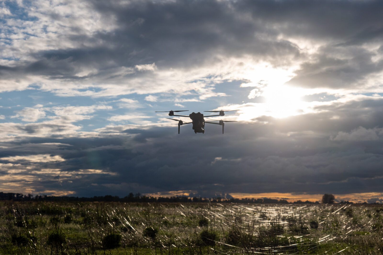
The announcement comes as the drone successfully completed initial combat evaluations across seven units within the Defense Forces of Ukraine and prepares for scaled series production.
Adapting to an Expanded Frontline Kill Zone
The operational rationale behind Slavic stems from the dramatic expansion of contested airspace and strike envelopes along the frontlines, where the lethal engagement zone now extends up to 20 km on either side of the forward line of own troops (FLOT). Standard commercial quadcopters, constrained by limited tactical range and short battery lifespans, increasingly force operator crews into high-risk forward positions.
To counter these vulnerabilities, Vyriy Industries designed Slavic to maintain the flight control logic familiar to commercial drone operators while providing standard military-grade parameters.
“The war has changed, and with it, the operational conditions for crews. The kill zone has expanded, while accessible commercial drones have a limited tactical deployment range. The primary objective today is to provide the military with a specialized platform that flies longer and farther, allowing crews to operate farther from the forward line of own troops. It was specifically for this purpose that we began developing Slavic”, said Oleksiy Babenko, Founder and CEO of Vyriy Industries.
Technical Specifications and Architecture
Slavic is engineered as an out-of-the-box system requiring no frontline hardware modifications. It addresses EW interference, optical tracking needs, and battlefield software integration natively.
Key technical specifications include:
Power & Endurance: Powered by a 40,000 mAh solid-state battery, delivering up to 1.5 hours of continuous flight time.
Tactical Range: Operational deployment reach of up to 30 kilometers, allowing crew survival through deep standoff deployment.
GPS-Denied Navigation: Capable of autonomous positioning without satellite signals via integrated optical navigation.
Resilient Communications: Wide-band RF channel architecture designed to bypass crowded frequencies and perform in challenging topographical terrain.
Payload & Imaging: Equipped with a 3-axis stabilized gimbal holding a daylight digital 2K camera (2560 × 1440) featuring 10x optical zoom and 30x hybrid zoom.
Ecosystem Integration: The included ground control station natively interfaces with Ukrainian military situational awareness and battle management systems, including DELTA and Kropyva, alongside direct video streaming to the VEZHA application.
User Transition: Automated flight functions – such as altitude/position hold, fail-safe return-to-home, and automated landing – enable rapid cross-training for personnel experienced with commercial platforms like DJI Mavic.
Operational Scaling and Next Steps
Following active deployment and tactical feedback gathered across seven operational units of the Defense Forces of Ukraine, Vyriy Industries is integrating crew telemetry into subsequent revisions of the platform.
The company is currently testing additional configurations, including thermal imaging payloads for night reconnaissance and payload adaptations to deploy the airframe as an airborne signal relay. Concurrently, Vyriy Industries is setting up manufacturing capacity to support scaled procurement and deliveries for Ukrainian defense procurement pipelines.
Operating across a partner network of over 200 military units, Vyriy Industries specializes in asymmetric autonomous battlefield systems, covering strike FPV systems, fixed-wing reconnaissance drones, unmanned ground vehicles (UGVs), ground control stations, and airborne relays.